One fishing companion. Every part of the trip.
AnglerScout brings worldwide fishing discovery, conditions, personal catch records, offline fieldwork and genuine fishing communities into one connected experience.
Open AnglerScout →
Choose what you want to explore.
Each part of AnglerScout has its own job. Open a feature below for a detailed look at how it helps before, during and after a fishing session.
Worldwide fishing map
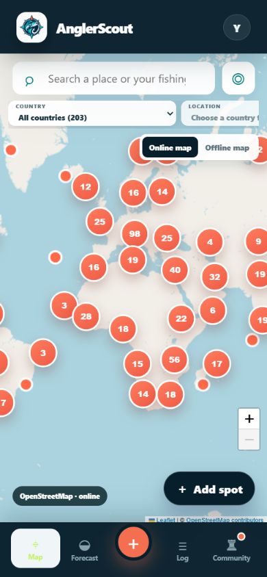
Explore coastal and inland waters, country by country, with fishing locations and useful infrastructure.
Explore the map → ◒Forecasts, tides and conditions
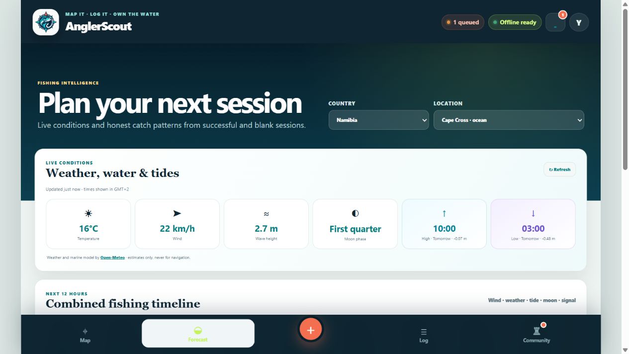
Bring wind, waves, weather, moon phase and location-based tide times into one readable timeline.
Read the conditions → +Catch log and sessions
Keep complete private records, named spots, photos, tackle details and personal bests.
See the catch log → ♜Communities and rankings
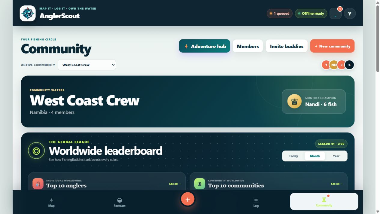
Fish with friends, post to selected audiences, run competitions and compare worldwide rankings.
Meet the community → ●Offline fishing
Prepare for low-signal water with offline logging, queued changes and planned regional map packs.
Prepare offline → ↗Membership
One affordable membership supports secure storage, synchronization and continued development.
View membership →See the product before you join.
These are three different AnglerScout workspaces: the conditions timeline, the paired worldwide leaderboards and the mobile map. Each detailed page below explains the controls and decisions behind that screen.
Your personal log comes first.
Every catch is written to the personal log. Sharing remains optional, and each post can use exact coordinates, an approximate area or no location at all.
Read the privacy policyThree location choices
- Exact for your private record or a trusted audience.
- Approximate to share the story without the precise spot.
- Hidden when the location should stay completely private.
Ready to scout your next session?
Explore the AnglerScout app or continue through the detailed feature pages.